
Capturing Scene: Drone Photogrammetry & 3D Scanning
Why it matters: 3D capture preserves scene geometry before construction, weather, and time erase critical evidence.
Many collision scenes don’t stay the same for long. Construction, snow clearing, vegetation growth, and roadway changes can erase key details in a matter of weeks, and sometimes even days.
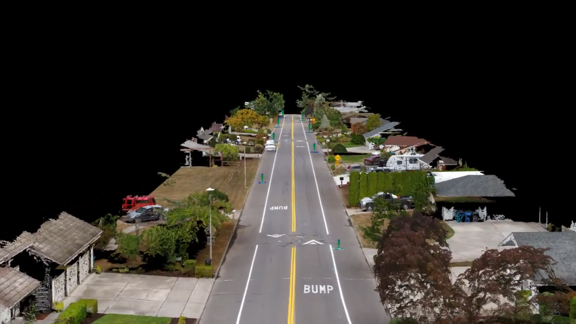
That’s where 3D scanning and drone photogrammetry come in. They preserve the entire scene as a measurable model, not just a collection of photos and a few measurements. They even allow us to take measurements in dangerous and hard-to-reach areas safely.
Instead of selecting a few points, investigators can capture road grades, sightlines, curb edges, gouges, debris distributions, and vehicle locations with scale and geometry intact.
Later, the scene can be “revisited” for measurements, exhibits, testing alternate theories and creating animations. They are especially useful when used in conjunction with surveillance video. When done correctly, 3D capture reduces uncertainty and strengthens defensibility. If you have a case that occurred recently, Advantage Forensics can document the scene right now so you can wait for the case documentation with peace of mind.